
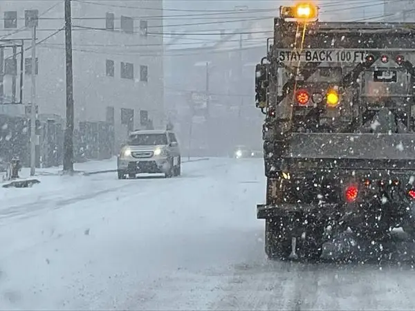
Western Pennsylvanians can expect a little more than flurries in the coming days.
Jeff Verszyla, meteorologist for WTAE, said a round of widespread snow showers will move across the area for the Friday morning commute.
“The main timeframe of light snow is 5 to 10 a.m. before snow showers taper off to flurries the rest of the day,” Verszyla said in an email.
The snow accumulation is predicted to range from around 1 inch in the Pittsburgh area, 1 to 2 inches north of Interstate 80 and 1 to 3 inches in the Laurel Highlands.
“We are settling into a typical winter cold pattern, which will likely last through the first two weeks of January,” he said.
The prediction of snow comes less than 24 hours after the National Weather Service deemed 2024 the warmest year on record for Pittsburgh.
It is official, 2024 was the warmest year on record for Pittsburgh, PA. The average mean temperature of the year was 56.4°F. The previous record was 55.4°F in 1921. pic.twitter.com/6686PFqS3Q
— NWS Pittsburgh (@NWSPittsburgh) January 2, 2025
“The average mean temperature of the year was 56.4 degrees. The previous record was 55.4 degrees in 1921,” according to a social media post from the NWS.