
The snow is already falling on Western Pennsylvania, and the result could be between 2 to 4 inches, according to area meteorologists.
Monday’s anticipated snowfall will mostly impact areas south of Pittsburgh, they say.
According to TribLive news partner WTAE, the biggest snowfall totals are predicted to land south of Interstate 70.
Places south of Pittsburgh are already seeing flakes, according to WTAE’s Ashley Dougherty. The heaviest snow will take place from about 4 to 8 a.m., she said.
“Interstate 70, 79 could be a little tricky this morning,” Dougherty said in her forecast.
PennDOT officials announced a 45-mph speed limit is in place on I-70 from the West Virginia border in Washington County to the I-76 interchange in New Stanton. Officials set the same speed limit on I-79 from the West Virginia border in Greene County to the I-376 Airport/Pittsburgh interchange.
The snow is already causing delays in public transit, with Pittsburgh Regional Transit announcing delays of up to 20 minutes on certain bus routes because of slower than usual traffic caused by the weather.
We're experiencing delays of up to 20 minutes on some bus routes due to slower than usual traffic caused by the weather. You can follow your bus/T in real time at https://t.co/THrrSo36vm
— Pittsburgh Regional Transit (@PGHtransit) January 6, 2025
WTAE predicted areas north of Route 422 to get about 1-2 inches of snow; areas between Route 422 to I-70, including Pittsburgh, to get about 2-4 inches; and areas south of I-70 to get about 4-8 inches.
Monday’s projected high temperature is 28 degrees, the low is 18 degrees, according to WTAE.
A strong band of snow could potentially develop south of the city that would bring snowfall rates of an inch or more per hour, according to WTAE. If it develops, it could raise snowfall amounts in locations that sit under the band.
There is also a small chance of a quick, freezing rain/sleet/snow mix along the Pennsylvania-West Virginia border briefly around sunrise, according to WTAE.
Dougherty predicted the heaviest of snowfall around 6 to 7 a.m. Monday.
“As we get around lunchtime, from Pittsburgh on south, you’re still going to see steady snow,” she said. “I think the further north you live, the drier the conditions will be.
“We’ll still see a few flakes trying to get in around 2, 3 o’clock into Butler and Lawrence, but still by 7 o’clock tonight, south and east of the city, you’re still going to see some of those snow showers. And things really do quiet down overnight into Tuesday.”
Periodic snow showers and flurries will continue through at least Wednesday, but little to no additional accumulations are expected, according to WTAE.
Many local school districts either closed, scheduled a remote learning day or operated on a delay Monday.
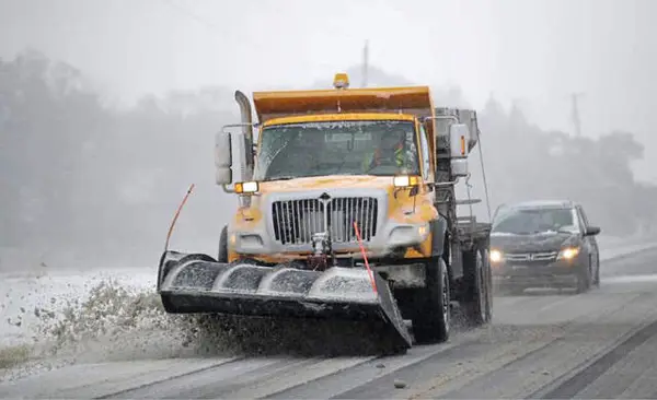
PennDOT officials said they’d deploy more than 600 equipment operators and staff to pre-treat roads Sunday to prevent ice from forming during the early stages of snow.
Pittsburgh crews deployed 60 trucks to pre-treat roads Sunday night, with an additional 70 trucks taking to city streets at 6 a.m. Monday.
Allegheny County officials planned to deploy 28 salt trucks with plows, and anticipate crews to be out until the snow stopped falling and roads are clear.