
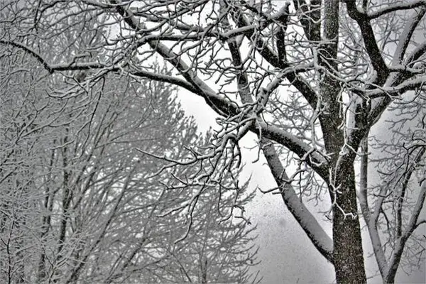
Western Pennsylvania could see heavy wet snowfall and rain throughout the day Wednesday, according to TribLive news partner WTAE.
Early Wednesday morning, the region could see wet snowflakes off and on, according to WTAE.
From about 7 to 10 a.m., wet snow mixed with rain is expected, before changing over to just rain, according to WTAE. Areas north of I-80 could see the snow and rain mix longer.
At around 6 p.m., the rain will turn into snow, WTAE predicts. Roads may become slick and icy as the temperature begins to drop.
Most of the area will see minimal snow accumulations, under an inch, according to WTAE. Two to four inches of snow is predicted at areas north of the I-80 corridor.
A winter weather advisory is in affect for areas along and north of I-80, as well as in the ridges of Pennsylvania and West Virginia, according to the National Weather Service in Moon.
Winds will pick up, too, according to WTAE: wind gusts up to 35 mph are expected through the late morning and afternoon.
The rest of this week, and early next week, will trend colder, according to WTAE.
Thursday’s forecast calls for clouds and flurries and snow showers north of Pittsburgh with a high of 29 degrees. Meteorologists predict Friday’s weather to be cloudy and cold with flurries, with a high of 32 degrees.