
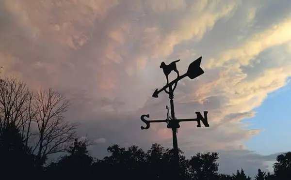
Powerful winds battered Western Pennsylvania on Monday, triggering local advisories and signaling a blustery conclusion to 2025.
The National Weather Service issued a wind advisory for most of the region effective throughout the day, according to meteorologist Chris Leonardi.
“We had a cold front move through overnight, and that low-pressure system is driving these very strong winds,” Leonardi said. “We’ve already seen some gusts into the 45 mph – 55 mph range, and we anticipate seeing some more before things start to calm down a little bit.”
After a Sunday that saw temperatures climb near the mid-60s, Monday morning’s temperature returned to the seasonal average in the mid-30s. Monday’s forecasted high is 43 degrees.
The wind advisory will last into the early morning hours Tuesday, and the region could see light snow before the day is out.
“We have a chance of some snow showers this afternoon,” Leonardi said. “In the Pittsburgh area and into the ridges, we might see a little accumulation. If the snow comes along as people are driving home this afternoon, it may make the roads a little slick, but the wind could actually help keep the roads a bit more dry.”
By Monday evening, Leonardi said, the region will dip into the mid-20s, “and whatever’s left on the roads will likely freeze.”
As New Year’s Eve approaches, forecasters are predicting another system that could produce accumulating snow, though the specific data is not yet finalized.
“We may get some wind gusts on New Year’s Eve as well, but not like what we’re seeing today,” Leonardi said. “It could be interesting on New Year’s Eve, but we’ll have a better handle on that in the next day or so.”
For the latest forecast, visit Weather.gov.