
Goodbye, snow.
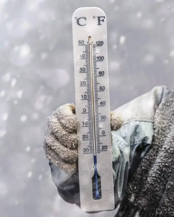
Temperatures in Pittsburgh this week could reach 60 degrees and lead to snowmelt in a winter warm-up set to end a six-day run of frigid weather, according to the National Weather Service in Moon.
The mercury started rising Monday morning in Pittsburgh and is expected to plateau in the lower 40s by end of day, said meteorologist Timothy Cermak.
Though two different fronts are expected to bring rain to the region this week, temperatures could hit 60 Thursday or Friday.
The first bout of rain — a 90% chance of it — is expected late Tuesday.
“We’re pretty confident we’re going to see rain, just not a lot,” Cermak told TribLive Monday. “It might not even do a whole lot to wash the salt off the road.”
Meteorologists expect to measure Pittsburgh’s rainfall totals Tuesday in the hundredths of an inch.
The rain returns Thursday afternoon, though there’s only a 20% to 30% chance of precipitation, Cermak said. Those odds rise to 80% late Thursday and early Friday, when up to a half-inch of rain could fall.
If the rainfall creeps closer to an inch, the National Weather Service meteorologist said there could be “minor” impacts.
“The higher end of rain, combined with the snow melt? It could cause some river rises, especially on the Allegheny (River),” Cermak said.
Widespread or dangerous flooding is not expected in the area.
Pittsburgh’s average high temperature in January lingers around 37 degrees, with an average low of 22, Cermak said.
Recent winter weather has been below those averages.
Pittsburgh has not crept above the freezing mark since Dec. 29 — last Monday — when temperatures plummeted to 21 degrees from 64 degrees, National Weather Service data show.
A cold front that set up shop for more than a week in eastern Canada and the northeastern U.S. led to the frigid temperatures, Cermak said.
This week, “that pattern is totally shifting,” fueled mostly by winds out of the southwest.