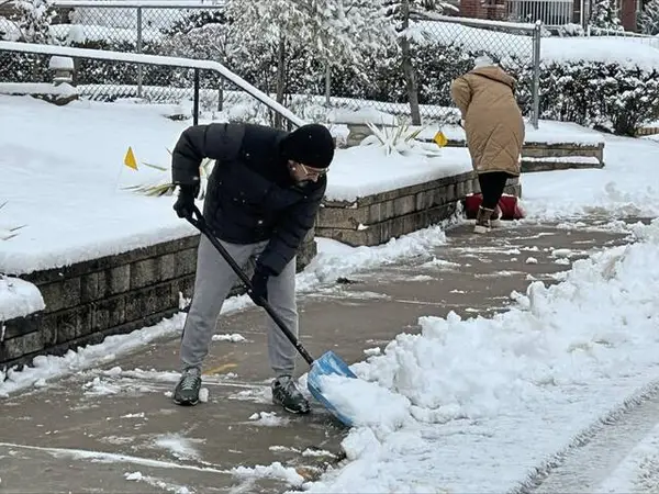
The chances of heavy snowfall in the region this weekend are increasing.
The Pittsburgh office of the National Weather Service in a social media post said the notion that the region could see no snow this weekend “has been completely thrown out.” The most likely model now predicts more than six inches is likely to blanket the area, with up to 15 inches possible in the mountains.
Bill Modzelewski, a meteorologist with the National Weather Service’s local office, said forecasts are now “in pretty good agreement” that the region will see about seven to 10 inches of snowfall.
It’s “not out of the question,” he said, for some areas to see a foot, particularly in higher terrains.
“It’s generally just a pretty cold and snowy pattern over the next few days,” Modzelewski said. “It’s a pretty significant winter storm, more than what we’ve had for several years.”
The last time the Pittsburgh area saw nine inches of snow, for example, was in December 2020, he said. Pittsburgh hasn’t been pummeled with 10 inches or more since February 2010.
“These amounts are not rare, but we don’t see them all that often,” Modzelewski said.
The first flurries could begin around 4 or 5 p.m. Saturday. Most of the region will see snow falling by 7 or 8 p.m. Saturday.
It’s not expected to stop until Monday morning.
The heaviest snow, Modzelewski said, is expected during the day and into the evening Sunday.
“It’s going to be a long snow event once it starts Saturday,” he told TribLive.
Cold temperatures will exacerbate winter weather challenges. People need to be aware of frostbite when outside shoveling snow, he said, and the salt that road crews drop to melt snow is less effective in colder conditions.
Temperatures Sunday will likely be in the mid-20s. For the first half of next week, daytime highs will sit in the upper teens or low-20s, Modzelewski said, with temperatures falling to around 5 to 10 degrees overnight.
Snowfall is likely to start late Saturday and last through the day Sunday, according to TribLive news partner WTAE. The heaviest precipitation will likely come overnight Saturday into Sunday morning, and travel may be difficult.
In a social media post, the weather service said people should start preparing for the possible winter storm. They urged anyone with travel plans over the weekend to begin thinking of contingencies. And people staying inside should stock up on emergency supplies, like food, batteries, water and portable chargers.
Officials also encouraged people to check smoke detectors and top off fuel for cars and heating sources. Anyone with electric heating should have alternate plans to stay warm in case they lose power.
“This storm will be followed by an extended cold period, so that snow will not be going anywhere,” the National Weather Service wrote on social media. “With cold and snow, next week may be a period where you’d want to avoid extended periods outdoors.”
A winter storm watch will likely be issued.
The snowstorm follows a frigid week that saw wind chills plunge to subzero temperatures Tuesday. It was cold enough earlier in the week for an ice blockage to threaten operations at a Pittsburgh Water treatment plant.
(1/12) "What's the forecast for this weekend?" If you recall from yesterday, we had a discussion about long range snowfall forecasting. We discussed the closer you get to an event, the more we can narrow down the amount of potential scenarios that may play out…. https://t.co/HQ3c8rQvaBpic.twitter.com/r5g5FQacBa
— NWS Pittsburgh (@NWSPittsburgh) January 21, 2026

