
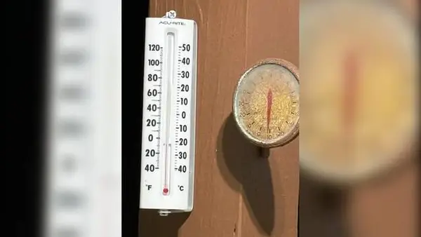
Western Pennsylvania set another record low Saturday.
Temperatures were recorded at minus 11 degrees at 5:29 a.m. at the National Weather Service’s offices in Moon Township, said meteorologist David Shallenberger.
The previous record for Jan. 31 was minus 5 degrees, set in 2019, Shallenberger said.
“This is most likely a polar vortex kind of situation,” Shallenberger said. “We had colder air come down, and it’s gotten wedged down in the area.”
Temperatures have lingered in the teens, single digits and below freezing following a record-high snowfall Sunday.
At 4 a.m. Saturday, temperatures across the region included minus 16 degrees in Waynesburg; minus 13 in Cranberry, Washington and New Castle; minus 12 in Butler; minus 10 in Monroeville; minus 9 in Indiana and Lower Burrell; minus 8 in Latrobe and minus 7 in Pittsburgh, according to NWS.
Friday morning’s temperatures also set a daily record low. NWS recorded minus 6 degrees at its Moon station Friday. The previous record temperature was minus 5 degrees in 2019.
The region is still a ways off from its coldest temperature ever, which was minus 22 degrees recorded Jan. 19, 1994.
Shallenberger predicts that the Pittsburgh region will miss a winter storm midweek that is set to hit in the Carolinas.
“It will pass south of us,” he said. “We might get a few instances of snow.”
Sunday’s low is project at zero degrees, Shallenberger said.
Things will be warmer next week but not by much. Daily highs are in the mid to upper 20s, and lows are in the single digits, Shallenberger said.
“The highs are not getting above freezing,” he said.