
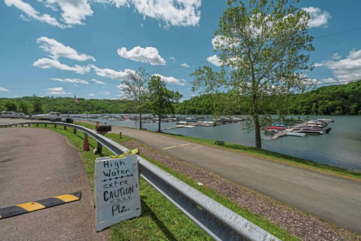
At Yough Lake Marina along Route 40 in Somerset County, owner Shannon Leskinen said nobody can get from land to their docks.
People usually walk down the ramp to their boats, but if they did that Thursday, the water would be “at their shoulders,” she said.
The water at the popular Youghiogheny River Lake was at 1,449 feet above sea level Thursday. In the summer, the U.S. Army Corps of Engineers Pittsburgh District tries to maintain the lake between about 1,438 and 1,440 feet, according to civil engineer Megan Gottlieb.
With the water about 10 feet higher than typical, the marina was forced to close its gas dock and disconnect electric services.
The increased water levels are a contrast to how the lake looked at the end of 2024 when the levels dropped to around 1,375 feet, revealing the 206-year-old Great Crossings Bridge. The effect of low water is visually more significant at the Youghiogheny River Lake than at other lakes, Gottlieb said.
The bridge once carried Route 40 over the Yough River between Somerset and Fayette counties. It emerges when dry weather causes low water levels in the lake.
Usually, the landmark is about 50 feet underwater.
Connellsville, which is west of the lake, received about an inch more than the normal rainfall in both April and May, according to Alicia Miller, a hydrologist with the National Weather Service’s Pittsburgh.
“It’s not extreme, but it is above normal, so that would lead to more water in the lake,” she said.
Reservoirs, such as the Yough River Lake, maintain elevations by adjusting the outflow. They have outflow gates that the project staff will open or close to adjust how much water is released, Gottlieb said.
These releases have remained average from year-to-year, she said.